A city designed from scratch
Chandigarh was planned after Partition as a new capital for Punjab. Early plans were drawn up by the American planner Albert Mayer with architect Matthew Nowicki; after Nowicki’s death in 1950, Le Corbusier took over, working with Pierre Jeanneret, Maxwell Fry and Jane Drew. Today Chandigarh is a Union Territory and serves as the capital of both Punjab and Haryana.
Sectors are self-contained neighbourhoods
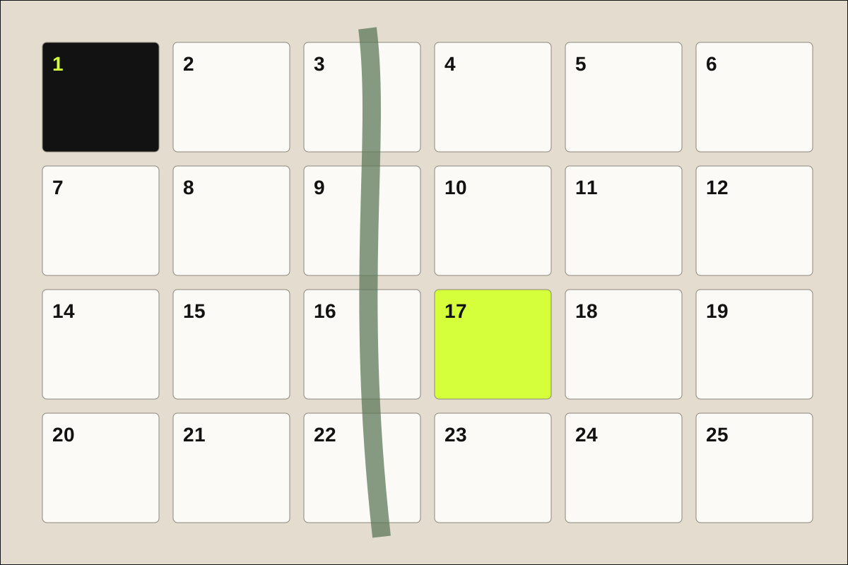
The city is divided into numbered sectors, most of them rectangles of roughly 800 by 1,200 metres. Each was intended to have homes, schools, shops and green space within walking distance, with a commercial street running through it. The original plan famously skipped the number 13.
The hierarchy of roads
Le Corbusier’s plan organised movement through a hierarchy of roads — often called the “7 Vs” — ranging from fast arterial routes to neighbourhood streets and pedestrian paths. It is why major roads run along sector edges and the interiors feel calmer.
- Sector 1 holds the Capitol Complex at the head of the city.
- Sector 17 is the city centre, with its pedestrian plaza.
- Leisure Valley threads green space through several sectors.
Understanding the grid also explains why local recommendations are so often given by sector number — “the café in 35”, “the market in 8”. It is the city’s shared language.


